 vesseltracker.com
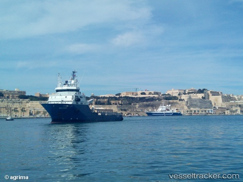
 GEO OCEAN VII
Current Status
Where is the vessel?
GEO OCEAN VII is currently in Near Middelkerke, based on AIS data received less than 1h ago.
Latest AIS update:
Current position: 51.31991° N, 2.70816° E (Near Middelkerke)
Average speed (last 7 days): Loading…
Average speed (last 30 days): Loading…
Vessel profile: GEO OCEAN VII is a Research/Survey Vessel with dimensions m x m.
This page combines live AIS, route history, probable destination signals, nearby traffic, and port activity for practical vessel monitoring.
The current position of vessel GEO OCEAN VII is 51.31991 lat / 2.70816 lng. Updated: 2026-05-15 03:59:16 UTCNearest reference points:
- 13 nm NW of Middelkerke
- Near Lombardsijde
- Near Oostende
Details:
Live Vessel GEO OCEAN VII Analytics (details, animations, etc.)
Recent AIS points (UTC):
2026-05-14 22:37:27 UTC · 51.32487, 2.72615 · SOG 1.3 kn · COG 271°2026-05-14 23:58:57 UTC · 51.33077, 2.73313 · SOG 1.7 kn · COG 234°
2026-05-15 01:15:46 UTC · 51.33083, 2.72329 · SOG 0.5 kn · COG 122°
2026-05-15 03:59:16 UTC · 51.31991, 2.70816 · SOG 0.8 kn · COG 77°