 vesseltracker.com
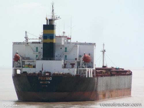
 FENDA 18
Current Status
Where is the vessel?
FENDA 18 is currently in 44 nm N of Ulleung-gun, based on AIS data received less than 1h ago.
Latest AIS update:
Current position: 38.21748° N, 130.78995° E (44 nm N of Ulleung-gun)
Average speed (last 7 days): Loading…
Average speed (last 30 days): Loading…
Vessel profile: FENDA 18 is a Bulk Carrier with dimensions 32m x 225m.
This page combines live AIS, route history, probable destination signals, nearby traffic, and port activity for practical vessel monitoring.
The current position of vessel FENDA 18 is 38.21748 lat / 130.78995 lng. Updated: 2026-05-15 00:16:59 UTCNearest reference points:
- 33 nm NE of Ulleung-gun
- 96 nm N of Ulleung-gun
- 94 nm N of Dokdo
Currently sailing under the flag of Panama ![]()
FENDA 18 built in 2000 year
Deadweight:
73288 tDetails:
Live Vessel FENDA 18 Analytics (details, animations, etc.)
Recent AIS points (UTC):
2026-05-14 19:50:05 UTC · 38.93500, 131.16499 · SOG 9 kn · COG -1°2026-05-14 21:14:03 UTC · 38.71667, 131.04666 · SOG 10 kn · COG -1°
2026-05-14 22:23:04 UTC · 38.52833, 130.94833 · SOG 10 kn · COG -1°
2026-05-15 00:16:59 UTC · 38.21748, 130.78995 · SOG 10.5 kn · COG 199°