 vesseltracker.com
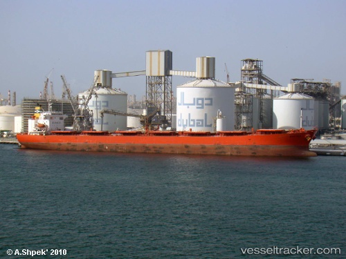
 BARCARENA
Current Status
Where is the vessel?
BARCARENA is currently in 48 nm S of Les Cayes, based on AIS data received about 1h ago.
Latest AIS update:
Current position: 17.37473° N, 73.69685° W (48 nm S of Les Cayes)
Average speed (last 7 days): Loading…
Average speed (last 30 days): Loading…
Vessel profile: BARCARENA is a Cabu Carrier with dimensions m x m.
This page combines live AIS, route history, probable destination signals, nearby traffic, and port activity for practical vessel monitoring.
The current position of vessel BARCARENA is 17.37473 lat / -73.69685 lng. Updated: 2026-05-13 23:41:45 UTCCurrently sailing under the flag of Marshall Islands ![]()
Details:
Live Vessel BARCARENA Analytics (details, animations, etc.)
Recent AIS points (UTC):
2026-05-13 19:44:27 UTC · 17.66404, -74.30218 · SOG 9.3 kn · COG 114°2026-05-13 21:38:35 UTC · 17.53034, -74.02098 · SOG 9.4 kn · COG 118°
2026-05-13 22:24:14 UTC · 17.47517, -73.90774 · SOG 10.4 kn · COG 118°
2026-05-13 23:41:45 UTC · 17.37473, -73.69685 · SOG 10.5 kn · COG 119°