 vesseltracker.com
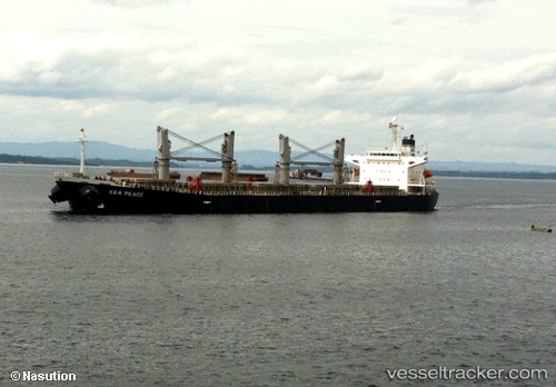
 FAROUK M
Current Status
Where is the vessel?
FAROUK M is currently in 11 nm N of Rozi, based on AIS data received less than 1h ago.
Latest AIS update:
Current position: 22.75612° N, 70.02208° E (11 nm N of Rozi)
Average speed (last 7 days): Loading…
Average speed (last 30 days): Loading…
Vessel profile: FAROUK M is a Bulk Carrier with dimensions m x m.
This page combines live AIS, route history, probable destination signals, nearby traffic, and port activity for practical vessel monitoring.
The current position of vessel FAROUK M is 22.75612 lat / 70.02208 lng. Updated: 2026-05-13 21:28:53 UTCNearest reference points:
- 12 nm N of Rozi
- 15 nm N of Rozi
- Near Rozi
Currently sailing under the flag of Barbados ![]()
Details:
Live Vessel FAROUK M Analytics (details, animations, etc.)
Recent AIS points (UTC):
2026-05-13 18:13:53 UTC · 22.75758, 70.02475 · SOG 0.3 kn · COG 219°2026-05-13 19:07:53 UTC · 22.75740, 70.02506 · SOG 0.2 kn · COG 233°
2026-05-13 19:58:53 UTC · 22.75773, 70.02392 · SOG 0.1 kn · COG 180°
2026-05-13 21:28:53 UTC · 22.75612, 70.02208 · SOG 0 kn · COG 103°