 vesseltracker.com
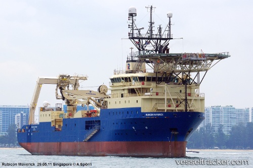
Bold Maverick
Current StatusWhere is the vessel?
Bold Maverick is currently in Near Vigo, based on AIS data received less than 1h ago.
Latest AIS update:
Current position: 42.25126° N, 8.70689° W (Near Vigo)
Average speed (last 7 days): Loading…
Average speed (last 30 days): Loading…
Vessel profile: Bold Maverick is a Well Stimulation Vessel with dimensions 20m x 105m.
This page combines live AIS, route history, probable destination signals, nearby traffic, and port activity for practical vessel monitoring.
The current position of vessel Bold Maverick is 42.25126 lat / -8.70689 lng. Updated: 2026-05-14 03:20:41 UTCNearest reference points:
- Near Vigo
- Near Corujo
- Near Portosin
Details:
Live Vessel Bold Maverick Analytics (details, animations, etc.)
Recent AIS points (UTC):
2026-05-13 23:32:38 UTC · 42.25125, -8.70691 · SOG 0 kn · COG 90°2026-05-14 01:35:40 UTC · 42.25127, -8.70696 · SOG 0 kn · COG 90°
2026-05-14 01:50:39 UTC · 42.25126, -8.70693 · SOG 0 kn · COG 90°
2026-05-14 03:20:41 UTC · 42.25126, -8.70689 · SOG 0 kn · COG 89°