 vesseltracker.com
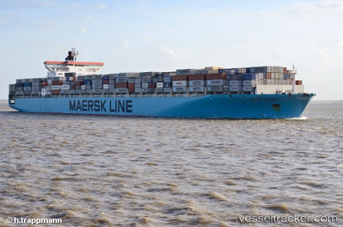
 W KITHIRA
Current Status
Where is the vessel?
W KITHIRA is currently in Near Fateh Terminal, based on AIS data received less than 1h ago.
Latest AIS update:
Current position: 25.62152° N, 54.64767° E (Near Fateh Terminal)
Average speed (last 7 days): Loading…
Average speed (last 30 days): Loading…
Vessel profile: W KITHIRA is a Container Ship with dimensions 300m x 300m.
This page combines live AIS, route history, probable destination signals, nearby traffic, and port activity for practical vessel monitoring.
The current position of vessel W KITHIRA is 25.62152 lat / 54.64767 lng. Updated: 2026-05-01 00:19:10 UTCNearest reference points:
- 11 nm SW of Fateh Terminal
- 17 nm NW of Free Port
- 16 nm NW of Jebel Ali
Currently sailing under the flag of Marshall Islands ![]()
W KITHIRA built in 2001 year
Deadweight:
93552 tDetails:
Live Vessel W KITHIRA Analytics (details, animations, etc.)
Recent AIS points (UTC):
2026-04-30 19:46:27 UTC · 25.02256, 55.04679 · SOG 0 kn · COG 259°2026-04-30 22:26:21 UTC · 25.33564, 54.88589 · SOG 11.2 kn · COG 341°
2026-04-30 22:55:11 UTC · 25.41831, 54.84061 · SOG 11.5 kn · COG 330°
2026-05-01 00:19:10 UTC · 25.62152, 54.64767 · SOG 11.4 kn · COG 311°