 vesseltracker.com
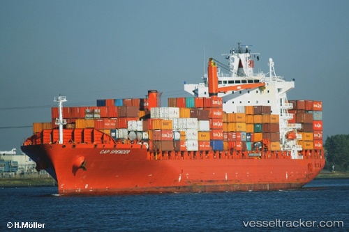
 MSC LANA IV
Current Status
Where is the vessel?
MSC LANA IV is currently in 28 nm NW of PUERTO BOLIVAR, based on AIS data received less than 1h ago.
Latest AIS update:
Current position: 12.67803° N, 72.18215° W (28 nm NW of PUERTO BOLIVAR)
Average speed (last 7 days): Loading…
Average speed (last 30 days): Loading…
Vessel profile: MSC LANA IV is a Container Ship with dimensions m x m.
This page combines live AIS, route history, probable destination signals, nearby traffic, and port activity for practical vessel monitoring.
The current position of vessel MSC LANA IV is 12.67803 lat / -72.18215 lng. Updated: 2026-05-01 13:45:41 UTCNearest reference points:
- Near PUERTO BOLIVAR
- 24 nm NW of Palm Beach
- Near Las Piedras
Currently sailing under the flag of Liberia ![]()
Details:
Live Vessel MSC LANA IV Analytics (details, animations, etc.)
Recent AIS points (UTC):
2026-05-01 10:14:22 UTC · 12.35182, -72.90930 · SOG 13.6 kn · COG 67°2026-05-01 10:16:51 UTC · 12.35569, -72.90057 · SOG 13.5 kn · COG 66°
2026-05-01 12:13:31 UTC · 12.54449, -72.49717 · SOG 13.4 kn · COG 66°
2026-05-01 13:45:41 UTC · 12.67803, -72.18215 · SOG 13.2 kn · COG 69°