 vesseltracker.com
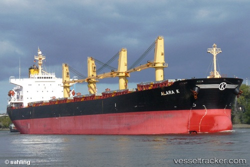
 Aliyah Pratama
Current Status
Where is the vessel?
Aliyah Pratama is currently in Near Batam Island, based on AIS data received about 2d ago.
Latest AIS update:
Current position: 1.00600° N, 103.95987° E (Near Batam Island)
Average speed (last 7 days): Loading…
Average speed (last 30 days): Loading…
Vessel profile: Aliyah Pratama is a Bulk Carrier with dimensions 190m x 32m.
This page combines live AIS, route history, probable destination signals, nearby traffic, and port activity for practical vessel monitoring.
The current position of vessel Aliyah Pratama is 1.00600 lat / 103.95987 lng. Updated: 2026-04-25 07:25:51 UTCNearest reference points:
- Near Batam Island
- Near Sekupang
- Near BATU AMPAR
Currently sailing under the flag of Indonesia ![]()
Aliyah Pratama built in 2001 year
Deadweight:
52413 tDetails:
Live Vessel Aliyah Pratama Analytics (details, animations, etc.)
Recent AIS points (UTC):
2026-04-25 07:25:51 UTC · 1.00600, 103.95987 · SOG 0 kn · COG -1°2026-04-25 07:25:51 UTC · 1.00600, 103.95987 · SOG 0 kn · COG -1°
2026-04-25 07:25:51 UTC · 1.00600, 103.95987 · SOG 0 kn · COG -1°
2026-04-25 07:25:51 UTC · 1.00600, 103.95987 · SOG 0 kn · COG -1°