 vesseltracker.com
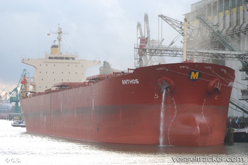
Anthos
Current StatusWhere is the vessel?
Anthos is currently in Near Shidao Pt, based on AIS data received about 2h ago.
Latest AIS update:
Current position: 36.83049° N, 122.27274° E (Near Shidao Pt)
Average speed (last 7 days): Loading…
Average speed (last 30 days): Loading…
Vessel profile: Anthos is a Bulk Carrier with dimensions 32m x 224m.
This page combines live AIS, route history, probable destination signals, nearby traffic, and port activity for practical vessel monitoring.
The current position of vessel Anthos is 36.83049 lat / 122.27274 lng. Updated: 2026-05-16 01:53:07 UTCNearest reference points:
- 12 nm W of Shidao Pt
- Near Shidao Pt
- Near SHIDAO
Details:
Live Vessel Anthos Analytics (details, animations, etc.)
Recent AIS points (UTC):
2026-05-15 22:47:03 UTC · 36.83047, 122.27276 · SOG 0 kn · COG 359°2026-05-15 23:26:05 UTC · 36.83051, 122.27277 · SOG 0.1 kn · COG 359°
2026-05-16 01:26:02 UTC · 36.83040, 122.27269 · SOG 0.2 kn · COG 359°
2026-05-16 01:53:07 UTC · 36.83049, 122.27274 · SOG 0.1 kn · COG 359°