 vesseltracker.com
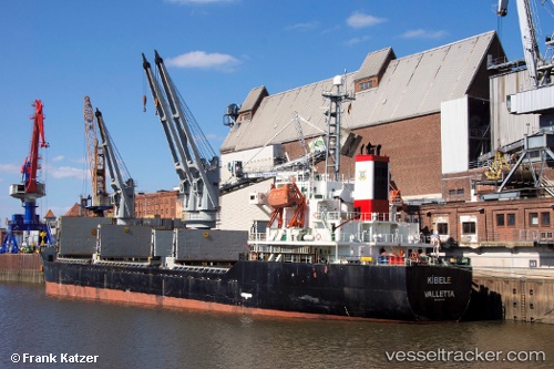
 LEADER M
Current Status
Where is the vessel?
LEADER M is currently in Near Murano, based on AIS data received about 2h ago.
Latest AIS update:
Current position: 45.36729° N, 12.41047° E (Near Murano)
Average speed (last 7 days): Loading…
Average speed (last 30 days): Loading…
Vessel profile: LEADER M is a Bulk Carrier with dimensions m x m.
This page combines live AIS, route history, probable destination signals, nearby traffic, and port activity for practical vessel monitoring.
The current position of vessel LEADER M is 45.36729 lat / 12.41047 lng. Updated: 2026-05-14 14:07:06 UTCNearest reference points:
- Near Murano
- Near Venezia
- Near Chioggia
Currently sailing under the flag of Barbados ![]()
LEADER M built in 2000 year
Deadweight:
12235 tDetails:
Live Vessel LEADER M Analytics (details, animations, etc.)
Recent AIS points (UTC):
2026-05-14 10:40:00 UTC · 45.36741, 12.41072 · SOG 0 kn · COG 47°2026-05-14 11:37:01 UTC · 45.36724, 12.41084 · SOG 0 kn · COG 47°
2026-05-14 13:46:07 UTC · 45.36725, 12.41047 · SOG 0.1 kn · COG 55°
2026-05-14 14:07:06 UTC · 45.36729, 12.41047 · SOG 0.1 kn · COG 58°