 vesseltracker.com
 Vaagan
Current Status
Where is the vessel?
Vaagan is currently in Near Vågaholmen, based on AIS data received less than 1h ago.
Latest AIS update:
Current position: 66.62418° N, 13.28457° E (Near Vågaholmen)
Average speed (last 7 days): Loading…
Average speed (last 30 days): Loading…
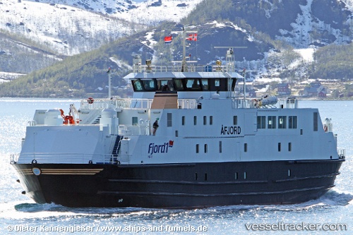
Vessel profile: Vaagan is a Passenger Ro Ro Cargo Ship with dimensions 63m x 14m.
This page combines live AIS, route history, probable destination signals, nearby traffic, and port activity for practical vessel monitoring.
The current position of vessel Vaagan is 66.62418 lat / 13.28457 lng. Updated: 2026-04-08 16:11:46 UTCNearest reference points:
- Near Tonnes
- Near Ørnes
- Near Lurøy
Currently sailing under the flag of Norway ![]()
Vaagan built in 2000 year
Deadweight:
440 tDetails:
Live Vessel Vaagan Analytics (details, animations, etc.)
Recent AIS points (UTC):
2026-04-08 10:00:01 UTC · 66.59474, 12.66976 · SOG 9.6 kn · COG 253°2026-04-08 11:58:28 UTC · 66.51167, 13.00692 · SOG 0 kn · COG 257°
2026-04-08 14:02:03 UTC · 66.48910, 12.96933 · SOG 9.2 kn · COG 35°
2026-04-08 16:11:46 UTC · 66.62418, 13.28457 · SOG 0 kn · COG 259°