 vesseltracker.com
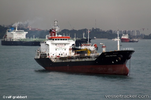
Long Phu 18
Current StatusWhere is the vessel?
Long Phu 18 is currently in Near Nghi Son, based on AIS data received about 2h ago.
Latest AIS update:
Current position: 19.37289° N, 105.89155° E (Near Nghi Son)
Average speed (last 7 days): Loading…
Average speed (last 30 days): Loading…
Vessel profile: Long Phu 18 is a Oil Products Tanker with dimensions 15m x 102m.
This page combines live AIS, route history, probable destination signals, nearby traffic, and port activity for practical vessel monitoring.
The current position of vessel Long Phu 18 is 19.37289 lat / 105.89155 lng. Updated: 2026-04-28 10:40:43 UTCNearest reference points:
- Near Nghi Son
- 60 nm NE of Son Duong Port
- 25 nm S of Nam Hai Dinh Vu Port
Details:
Live Vessel Long Phu 18 Analytics (details, animations, etc.)
Recent AIS points (UTC):
2026-04-28 08:25:43 UTC · 19.37285, 105.89167 · SOG 0.1 kn · COG 147°2026-04-28 09:04:43 UTC · 19.37292, 105.89172 · SOG 0.1 kn · COG 154°
2026-04-28 10:40:43 UTC · 19.37289, 105.89155 · SOG 0.1 kn · COG 147°
2026-04-28 10:40:43 UTC · 19.37289, 105.89155 · SOG 0.1 kn · COG 147°