 vesseltracker.com
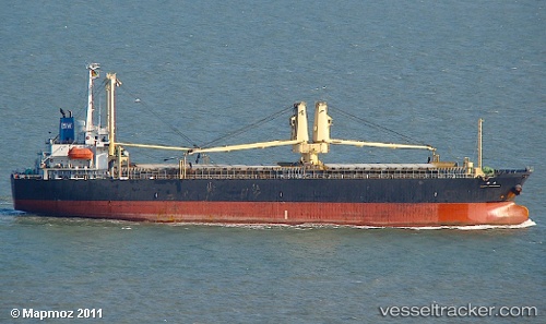
 YORK 17
Current Status
Where is the vessel?
YORK 17 is currently in 85 nm NE of Yangkou Pt, based on AIS data received about 1h ago.
Latest AIS update:
Current position: 33.37873° N, 122.77542° E (85 nm NE of Yangkou Pt)
Average speed (last 7 days): Loading…
Average speed (last 30 days): Loading…
Vessel profile: YORK 17 is a General Cargo Ship with dimensions 117m x 19m.
This page combines live AIS, route history, probable destination signals, nearby traffic, and port activity for practical vessel monitoring.
The current position of vessel YORK 17 is 33.37873 lat / 122.77542 lng. Updated: 2026-05-16 10:23:54 UTCNearest reference points:
- 79 nm NE of Yangkou Pt
- 99 nm NE of Yangkou Pt
- 108 nm W of Gageohyangri
Currently sailing under the flag of Belize ![]()
YORK 17 built in 2000 year
Deadweight:
11612 tDetails:
Live Vessel YORK 17 Analytics (details, animations, etc.)
Recent AIS points (UTC):
2026-05-16 07:02:18 UTC · 34.09975, 122.77854 · SOG 12 kn · COG 183°2026-05-16 07:35:12 UTC · 33.98667, 122.77500 · SOG 12 kn · COG -1°
2026-05-16 09:20:15 UTC · 33.61333, 122.76333 · SOG 13 kn · COG -1°
2026-05-16 10:23:54 UTC · 33.37873, 122.77542 · SOG 13 kn · COG 175°