 vesseltracker.com
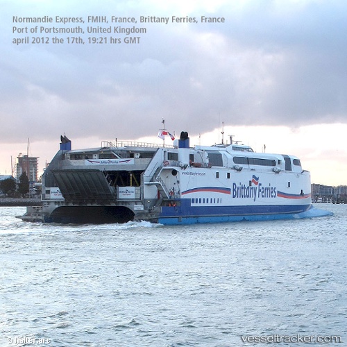
 CONDOR VOYAGER
Current Status
Where is the vessel?
CONDOR VOYAGER is currently in Near SAINT MALO, based on AIS data received about 2h ago.
Latest AIS update:
Current position: 48.64106° N, 2.02853° W (Near SAINT MALO)
Average speed (last 7 days): Loading…
Average speed (last 30 days): Loading…
Vessel profile: CONDOR VOYAGER is a Passenger/Ro-Ro Ship (vehicles) with dimensions 98m x 98m.
This page combines live AIS, route history, probable destination signals, nearby traffic, and port activity for practical vessel monitoring.
The current position of vessel CONDOR VOYAGER is 48.64106 lat / -2.02853 lng. Updated: 2026-05-01 05:34:15 UTCNearest reference points:
- Near SAINT MALO
- Near Saint-Malo
- Near SAINT CAST LE GUIDO
Currently sailing under the flag of Bahamas ![]()
CONDOR VOYAGER built in 2000 year
Deadweight:
721 tDetails:
Live Vessel CONDOR VOYAGER Analytics (details, animations, etc.)
Recent AIS points (UTC):
2026-05-01 02:06:37 UTC · 48.64177, -2.02702 · SOG 0 kn · COG 230°2026-05-01 04:12:36 UTC · 48.64175, -2.02703 · SOG 0 kn · COG 230°
2026-05-01 04:57:36 UTC · 48.64176, -2.02702 · SOG 0 kn · COG 230°
2026-05-01 05:34:15 UTC · 48.64106, -2.02853 · SOG 0 kn · COG 260°