 vesseltracker.com
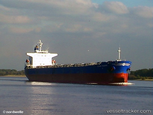
 KHALEJIA ANA 5
Current Status
Where is the vessel?
KHALEJIA ANA 5 is currently in Near Stevin Rock, based on AIS data received about 1h ago.
Latest AIS update:
Current position: 25.97414° N, 56.05289° E (Near Stevin Rock)
Average speed (last 7 days): Loading…
Average speed (last 30 days): Loading…
Vessel profile: KHALEJIA ANA 5 is a Bulk Carrier with dimensions 33m x 225m.
This page combines live AIS, route history, probable destination signals, nearby traffic, and port activity for practical vessel monitoring.
The current position of vessel KHALEJIA ANA 5 is 25.97414 lat / 56.05289 lng. Updated: 2026-05-16 13:43:59 UTCNearest reference points:
- Near Stevin Rock
- Near Rak Maritime City
- Near Ras Al Khaimah
Currently sailing under the flag of Panama ![]()
KHALEJIA ANA 5 built in 2001 year
Deadweight:
73910 tDetails:
Live Vessel KHALEJIA ANA 5 Analytics (details, animations, etc.)
Recent AIS points (UTC):
2026-05-16 09:57:01 UTC · 26.38936, 55.92553 · SOG 0 kn · COG 276°2026-05-16 12:13:45 UTC · 25.97437, 56.05372 · SOG 0 kn · COG 276°
2026-05-16 13:02:23 UTC · 25.97442, 56.05374 · SOG 0.2 kn · COG 276°
2026-05-16 13:43:59 UTC · 25.97414, 56.05289 · SOG 0.3 kn · COG 276°