 vesseltracker.com
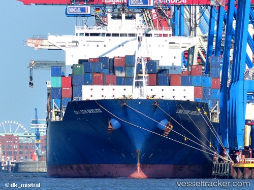
 CMA CGM BERLIOZ
Current Status
Where is the vessel?
CMA CGM BERLIOZ is currently in 34 nm W of Yonggipo, based on AIS data received about 1h ago.
Latest AIS update:
Current position: 37.94833° N, 123.99333° E (34 nm W of Yonggipo)
Average speed (last 7 days): Loading…
Average speed (last 30 days): Loading…
Vessel profile: CMA CGM BERLIOZ is a Container Ship with dimensions 41m x 300m.
This page combines live AIS, route history, probable destination signals, nearby traffic, and port activity for practical vessel monitoring.
The current position of vessel CMA CGM BERLIOZ is 37.94833 lat / 123.99333 lng. Updated: 2026-05-02 17:40:55 UTCNearest reference points:
- 44 nm W of Yonggipo
- 54 nm W of Yonggipo
- 59 nm NE of Longyan Pt
Currently sailing under the flag of Liberia ![]()
CMA CGM BERLIOZ built in 2001 year
Deadweight:
80250 tDetails:
Live Vessel CMA CGM BERLIOZ Analytics (details, animations, etc.)
Recent AIS points (UTC):
2026-05-02 08:10:32 UTC · 38.28903, 122.43998 · SOG 14 kn · COG 103°2026-05-02 08:10:32 UTC · 38.28903, 122.43998 · SOG 14 kn · COG 103°
2026-05-02 08:10:32 UTC · 38.28903, 122.43998 · SOG 14 kn · COG 103°
2026-05-02 17:40:55 UTC · 37.94833, 123.99333 · SOG 0 kn · COG -1°