 vesseltracker.com
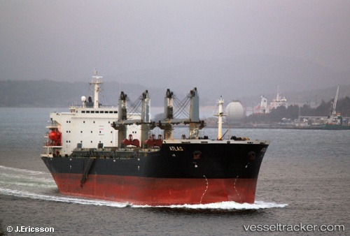
 NAVIGATOR
Current Status
Where is the vessel?
NAVIGATOR is currently in Near Cape Agulhas, based on AIS data received less than 1h ago.
Latest AIS update:
Current position: 34.95008° S, 19.90675° E (Near Cape Agulhas)
Average speed (last 7 days): Loading…
Average speed (last 30 days): Loading…
Vessel profile: NAVIGATOR is a Bulk Carrier with dimensions m x m.
This page combines live AIS, route history, probable destination signals, nearby traffic, and port activity for practical vessel monitoring.
The current position of vessel NAVIGATOR is -34.95008 lat / 19.90675 lng. Updated: 2026-05-16 03:25:05 UTCNearest reference points:
- 15 nm SE of Moorreesburg
- Near Mitchells Plain
- Near Salt River
Currently sailing under the flag of Palau ![]()
Details:
Live Vessel NAVIGATOR Analytics (details, animations, etc.)
Recent AIS points (UTC):
2026-05-16 00:04:40 UTC · -34.87722, 20.58410 · SOG 9.6 kn · COG 260°2026-05-16 01:33:06 UTC · -34.91536, 20.29388 · SOG 10.2 kn · COG 258°
2026-05-16 01:56:40 UTC · -34.92854, 20.21301 · SOG 10.2 kn · COG 258°
2026-05-16 03:25:05 UTC · -34.95008, 19.90675 · SOG 10.6 kn · COG 284°