 vesseltracker.com
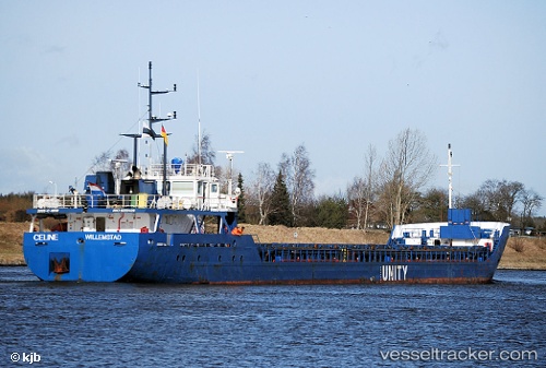
 Wilson Alster
Current Status
Where is the vessel?
Wilson Alster is currently in Near Thornham, based on AIS data received less than 1h ago.
Latest AIS update:
Current position: 52.96016° N, 0.36482° E (Near Thornham)
Average speed (last 7 days): Loading…
Average speed (last 30 days): Loading…
Vessel profile: Wilson Alster is a Multi Purpose Carrier with dimensions 83m x 11m.
This page combines live AIS, route history, probable destination signals, nearby traffic, and port activity for practical vessel monitoring.
The current position of vessel Wilson Alster is 52.96016 lat / 0.36482 lng. Updated: 2026-05-13 09:48:04 UTCNearest reference points:
- Near Grimsby
- Near Withernsea
- 14 nm E of Withernsea
Currently sailing under the flag of Barbados ![]()
Wilson Alster built in 2005 year
Deadweight:
2500 tDetails:
Live Vessel Wilson Alster Analytics (details, animations, etc.)
Recent AIS points (UTC):
2026-05-13 03:54:03 UTC · 52.96045, 0.36457 · SOG 0 kn · COG 249°2026-05-13 04:06:04 UTC · 52.96052, 0.36454 · SOG 0.2 kn · COG 255°
2026-05-13 05:42:07 UTC · 52.96070, 0.36445 · SOG 0 kn · COG 241°
2026-05-13 09:48:04 UTC · 52.96016, 0.36482 · SOG 0.1 kn · COG 266°