 vesseltracker.com
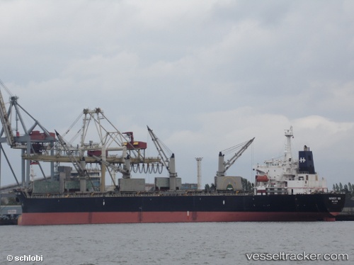
 OCEAN BRIDGE
Current Status
Where is the vessel?
OCEAN BRIDGE is currently in 21 nm W of Westport/Port Klang, based on AIS data received about 1h ago.
Latest AIS update:
Current position: 2.86364° N, 100.95786° E (21 nm W of Westport/Port Klang)
Average speed (last 7 days): Loading…
Average speed (last 30 days): Loading…
Vessel profile: OCEAN BRIDGE is a Bulk Carrier with dimensions 190m x 190m.
This page combines live AIS, route history, probable destination signals, nearby traffic, and port activity for practical vessel monitoring.
The current position of vessel OCEAN BRIDGE is 2.86364 lat / 100.95786 lng. Updated: 2026-04-28 11:54:52 UTCNearest reference points:
- 21 nm SW of Pulau Indah
- Near Pulau Indah
- Near Westport/Port Klang
Currently sailing under the flag of Panama ![]()
OCEAN BRIDGE built in 2001 year
Deadweight:
52224 tDetails:
Live Vessel OCEAN BRIDGE Analytics (details, animations, etc.)
Recent AIS points (UTC):
2026-04-28 08:28:51 UTC · 2.55413, 101.52490 · SOG 10.6 kn · COG 306°2026-04-28 10:03:22 UTC · 2.70517, 101.27678 · SOG 11.2 kn · COG 293°
2026-04-28 10:53:00 UTC · 2.76301, 101.13165 · SOG 11.4 kn · COG 294°
2026-04-28 11:54:52 UTC · 2.86364, 100.95786 · SOG 12.2 kn · COG 322°