 vesseltracker.com
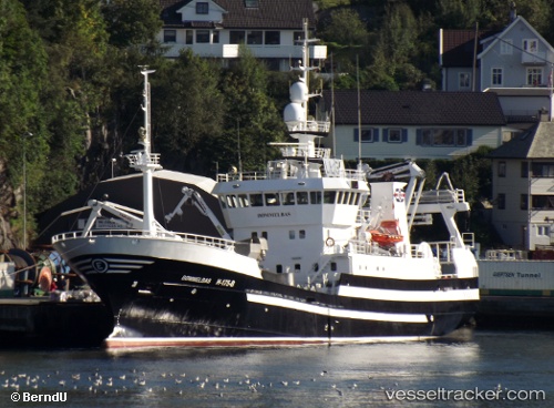
 Boemmelbas
Current Status
Where is the vessel?
Boemmelbas is currently in Near LANGEVAG, based on AIS data received about 1h ago.
Latest AIS update:
Current position: 59.60813° N, 5.22798° E (Near LANGEVAG)
Average speed (last 7 days): Loading…
Average speed (last 30 days): Loading…
Vessel profile: Boemmelbas is a Fish Carrier with dimensions 62m x 12m.
This page combines live AIS, route history, probable destination signals, nearby traffic, and port activity for practical vessel monitoring.
The current position of vessel Boemmelbas is 59.60813 lat / 5.22798 lng. Updated: 2026-05-01 20:24:40 UTCNearest reference points:
- Near Storøya
- Near HUSOYA
- Near Valevåg
Currently sailing under the flag of Norway ![]()
Boemmelbas built in 2000 year
Deadweight:
620 tDetails:
Live Vessel Boemmelbas Analytics (details, animations, etc.)
Recent AIS points (UTC):
2026-05-01 15:55:40 UTC · 59.60815, 5.22805 · SOG 0 kn · COG 41°2026-05-01 17:49:09 UTC · 59.60812, 5.22803 · SOG 0 kn · COG 42°
2026-05-01 19:51:39 UTC · 59.60810, 5.22807 · SOG 0 kn · COG 42°
2026-05-01 20:24:40 UTC · 59.60813, 5.22798 · SOG 0 kn · COG 43°