 vesseltracker.com
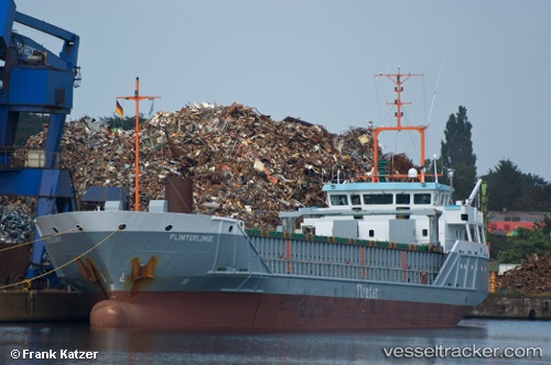
 Fri River
Current Status
Where is the vessel?
Fri River is currently in 30 nm W of Rosengarten, based on AIS data received about 1h ago.
Latest AIS update:
Current position: 49.16833° N, 10.45333° W (30 nm W of Rosengarten)
Average speed (last 7 days): Loading…
Average speed (last 30 days): Loading…
Vessel profile: Fri River is a Deck Cargo Ship with dimensions 91m x 14m.
This page combines live AIS, route history, probable destination signals, nearby traffic, and port activity for practical vessel monitoring.
The current position of vessel Fri River is 49.16833 lat / -10.45333 lng. Updated: 2026-04-30 16:43:36 UTCNearest reference points:
- 44 nm SE of Brady
- 20 nm SE of Wunschendorf
- 24 nm N of Aurach Bei Kitzbuhel
Currently sailing under the flag of Bahamas ![]()
Fri River built in 2000 year
Deadweight:
3300 tDetails:
Live Vessel Fri River Analytics (details, animations, etc.)
Recent AIS points (UTC):
2026-04-30 13:03:55 UTC · 49.80909, -10.51449 · SOG 10.3 kn · COG 176°2026-04-30 13:52:33 UTC · 49.66667, -10.50167 · SOG 9 kn · COG -1°
2026-04-30 16:22:34 UTC · 49.23000, -10.46167 · SOG 10 kn · COG -1°
2026-04-30 16:43:36 UTC · 49.16833, -10.45333 · SOG 10 kn · COG -1°