 vesseltracker.com
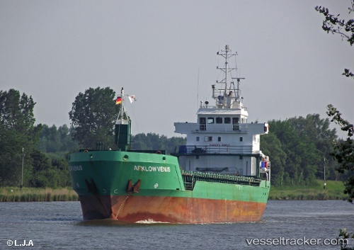
 Hermas
Current Status
Where is the vessel?
Hermas is currently in Near Maasdijk, based on AIS data received less than 1h ago.
Latest AIS update:
Current position: 51.94076° N, 4.19710° E (Near Maasdijk)
Average speed (last 7 days): Loading…
Average speed (last 30 days): Loading…
Vessel profile: Hermas is a Multi Purpose Carrier with dimensions 90m x 14m.
This page combines live AIS, route history, probable destination signals, nearby traffic, and port activity for practical vessel monitoring.
The current position of vessel Hermas is 51.94076 lat / 4.19710 lng. Updated: 2026-05-14 17:22:58 UTCNearest reference points:
- Near BRIELLE
- Near Maassluis
- Near HOEK VAN HOLLAND
Currently sailing under the flag of Cyprus ![]()
Hermas built in 2000 year
Deadweight:
4903 tDetails:
Live Vessel Hermas Analytics (details, animations, etc.)
Recent AIS points (UTC):
2026-05-14 14:06:56 UTC · 51.69599, 4.60147 · SOG 0 kn · COG 164°2026-05-14 16:08:34 UTC · 51.83503, 4.47974 · SOG 10 kn · COG 256°
2026-05-14 16:18:04 UTC · 51.83542, 4.43799 · SOG 10.2 kn · COG 299°
2026-05-14 17:22:58 UTC · 51.94076, 4.19710 · SOG 12.5 kn · COG 299°