 vesseltracker.com
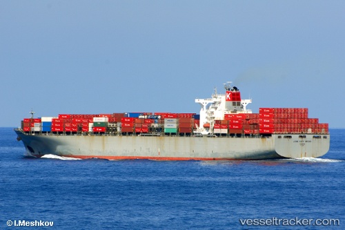
 WAN HAI 612
Current Status
Where is the vessel?
WAN HAI 612 is currently in 12 nm SW of Westport/Port Klang, based on AIS data received about 1h ago.
Latest AIS update:
Current position: 2.79883° N, 101.16125° E (12 nm SW of Westport/Port Klang)
Average speed (last 7 days): Loading…
Average speed (last 30 days): Loading…
Vessel profile: WAN HAI 612 is a Container Ship with dimensions m x m.
This page combines live AIS, route history, probable destination signals, nearby traffic, and port activity for practical vessel monitoring.
The current position of vessel WAN HAI 612 is 2.79883 lat / 101.16125 lng. Updated: 2026-05-14 20:15:13 UTCNearest reference points:
- Near Pulau Indah
- 21 nm SW of Pulau Indah
- Near Carey Island Estate
Currently sailing under the flag of Liberia ![]()
Details:
Live Vessel WAN HAI 612 Analytics (details, animations, etc.)
Recent AIS points (UTC):
2026-05-14 16:58:52 UTC · 2.69936, 101.29649 · SOG 13.3 kn · COG 294°2026-05-14 18:16:13 UTC · 2.80264, 101.18882 · SOG 0.4 kn · COG 203°
2026-05-14 19:14:54 UTC · 2.79456, 101.19674 · SOG 1.1 kn · COG 222°
2026-05-14 20:15:13 UTC · 2.79883, 101.16125 · SOG 8.9 kn · COG 321°