 vesseltracker.com
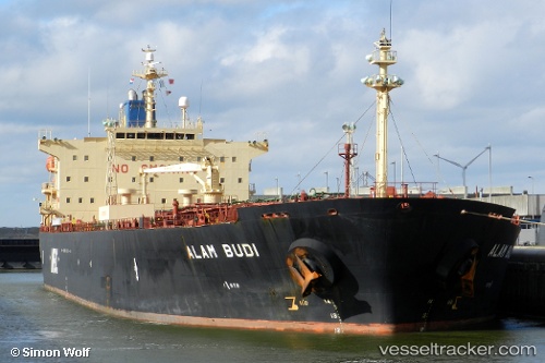
 Al Forat
Current Status
Where is the vessel?
Al Forat is currently in 25 nm SW of Nam Can Port, based on AIS data received about 221d ago.
Latest AIS update:
Current position: 8.46500° N, 104.78667° E (25 nm SW of Nam Can Port)
Average speed (last 7 days): Loading…
Average speed (last 30 days): Loading…
Vessel profile: Al Forat is a Oil Products Tanker with dimensions 182m x 32m.
This page combines live AIS, route history, probable destination signals, nearby traffic, and port activity for practical vessel monitoring.
The current position of vessel Al Forat is 8.46500 lat / 104.78667 lng. Updated: 2025-10-05 01:37:29 UTCNearest reference points:
- 68 nm S of Nam Can Port
- 30 nm E of Dai Hung (STS Load)
- 50 nm SW of Ben Dam Con Dao Terminals
Currently sailing under the flag of Comoros ![]()
Al Forat built in 2001 year
Deadweight:
47065 tDetails:
Live Vessel Al Forat Analytics (details, animations, etc.)
Recent AIS points (UTC):
2025-10-05 01:37:29 UTC · 8.46500, 104.78667 · SOG 0 kn · COG -1°