 vesseltracker.com
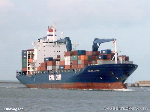
 MSC IDA II
Current Status
Where is the vessel?
MSC IDA II is currently in 31 nm NW of Xijiang, based on AIS data received less than 1h ago.
Latest AIS update:
Current position: 21.75924° N, 114.63540° E (31 nm NW of Xijiang)
Average speed (last 7 days): Loading…
Average speed (last 30 days): Loading…
Vessel profile: MSC IDA II is a Container Ship with dimensions 30m x 196m.
This page combines live AIS, route history, probable destination signals, nearby traffic, and port activity for practical vessel monitoring.
The current position of vessel MSC IDA II is 21.75924 lat / 114.63540 lng. Updated: 2026-04-26 04:06:53 UTCNearest reference points:
- 25 nm SE of Wan Tsai
- 22 nm E of Wan Tsai
- 13 nm E of Wong Chuk Hang
Currently sailing under the flag of Liberia ![]()
MSC IDA II built in 2001 year
Deadweight:
30442 tDetails:
Live Vessel MSC IDA II Analytics (details, animations, etc.)
Recent AIS points (UTC):
2026-04-25 23:29:51 UTC · 20.92756, 114.91914 · SOG 6.4 kn · COG 335°2026-04-26 01:45:17 UTC · 21.20088, 114.74113 · SOG 15.1 kn · COG 330°
2026-04-26 02:09:35 UTC · 21.28734, 114.68268 · SOG 15 kn · COG 331°
2026-04-26 04:06:53 UTC · 21.75924, 114.63540 · SOG 14.7 kn · COG 353°