 vesseltracker.com
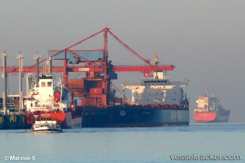
Aquaman
Current StatusWhere is the vessel?
Aquaman is currently in 12 nm E of Gonglu, based on AIS data received less than 1h ago.
Latest AIS update:
Current position: 31.26403° N, 121.89603° E (12 nm E of Gonglu)
Average speed (last 7 days): Loading…
Average speed (last 30 days): Loading…
Vessel profile: Aquaman is a Ore Carrier with dimensions 32m x 225m.
This page combines live AIS, route history, probable destination signals, nearby traffic, and port activity for practical vessel monitoring.
The current position of vessel Aquaman is 31.26403 lat / 121.89603 lng. Updated: 2026-04-20 18:09:42 UTCNearest reference points:
- Near Gonglu
- 15 nm NE of Gonglu
- 18 nm NE of Nanhui
Details:
Live Vessel Aquaman Analytics (details, animations, etc.)
Recent AIS points (UTC):
2026-04-20 14:24:35 UTC · 31.16453, 122.48045 · SOG 2.1 kn · COG 44°2026-04-20 16:24:39 UTC · 31.15342, 122.22092 · SOG 12.2 kn · COG 303°
2026-04-20 16:50:02 UTC · 31.19579, 122.15256 · SOG 10.2 kn · COG 307°
2026-04-20 18:09:42 UTC · 31.26403, 121.89603 · SOG 9.6 kn · COG 282°