 vesseltracker.com
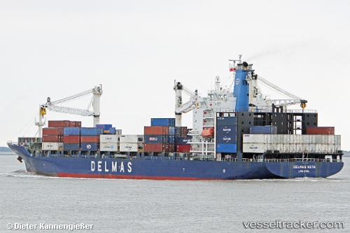
 KETA
KETA
Current Status
Where is the vessel?
KETA is currently in 49 nm E of Paradip, based on AIS data received less than 1h ago.
Latest AIS update:
Current position: 20.15617° N, 87.56887° E (49 nm E of Paradip)
Average speed (last 7 days): Loading…
Average speed (last 30 days): Loading…
Vessel profile: KETA is a Container Ship with dimensions 196m x 30m.
This page combines live AIS, route history, probable destination signals, nearby traffic, and port activity for practical vessel monitoring.
The current position of vessel KETA is 20.15617 lat / 87.56887 lng. Updated: 2026-05-15 17:11:54 UTCNearest reference points:
- 61 nm E of DHAMRA
- Near Paradip
- 45 nm S of Contai
Currently sailing under the flag of Liberia ![]()
KETA built in 2003 year
Deadweight:
30450 tDetails:
Live Vessel KETA Analytics (details, animations, etc.)
Recent AIS points (UTC):
2026-05-15 13:29:06 UTC · 19.30210, 87.22170 · SOG 14.4 kn · COG 24°2026-05-15 14:02:06 UTC · 19.42462, 87.27530 · SOG 14.3 kn · COG 24°
2026-05-15 16:02:30 UTC · 19.88323, 87.46506 · SOG 15.1 kn · COG 18°
2026-05-15 17:11:54 UTC · 20.15617, 87.56887 · SOG 14.6 kn · COG 21°