 vesseltracker.com
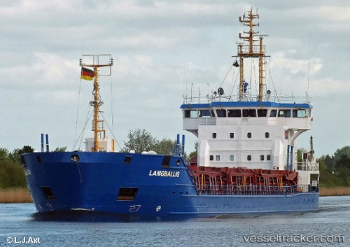
 CEMGULF
Current Status
Where is the vessel?
CEMGULF is currently in Near LIVERPOOL ANCH, based on AIS data received less than 1h ago.
Latest AIS update:
Current position: 53.47333° N, 3.42833° W (Near LIVERPOOL ANCH)
Average speed (last 7 days): Loading…
Average speed (last 30 days): Loading…
Vessel profile: CEMGULF is a Cement Carrier with dimensions 100m x 16m.
This page combines live AIS, route history, probable destination signals, nearby traffic, and port activity for practical vessel monitoring.
The current position of vessel CEMGULF is 53.47333 lat / -3.42833 lng. Updated: 2026-05-16 13:29:06 UTCNearest reference points:
- Near LIVERPOOL ANCH
- Near Rhôs-on-Sea
- Near BIRKENHEAD
Currently sailing under the flag of Antigua and Barbuda ![]()
CEMGULF built in 2001 year
Deadweight:
4972 tDetails:
Live Vessel CEMGULF Analytics (details, animations, etc.)
Recent AIS points (UTC):
2026-05-16 10:09:04 UTC · 53.47366, -3.42413 · SOG 0.1 kn · COG 249°2026-05-16 12:12:03 UTC · 53.47377, -3.42769 · SOG 0 kn · COG 119°
2026-05-16 13:12:03 UTC · 53.47349, -3.42834 · SOG 0 kn · COG 114°
2026-05-16 13:29:06 UTC · 53.47333, -3.42833 · SOG 0 kn · COG -1°