 vesseltracker.com
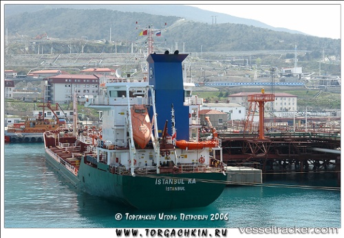
 EAST WIND II
Current Status
Where is the vessel?
EAST WIND II is currently in Near Mogadishu, based on AIS data received less than 1h ago.
Latest AIS update:
Current position: 1.97833° N, 45.36167° E (Near Mogadishu)
Average speed (last 7 days): Loading…
Average speed (last 30 days): Loading…
Vessel profile: EAST WIND II is a Oil Products Tanker with dimensions 16m x 109m.
This page combines live AIS, route history, probable destination signals, nearby traffic, and port activity for practical vessel monitoring.
The current position of vessel EAST WIND II is 1.97833 lat / 45.36167 lng. Updated: 2026-05-14 08:19:00 UTCNearest reference points:
- 122 nm SE of El Maan
Currently sailing under the flag of Gabon ![]()
EAST WIND II built in 2001 year
Deadweight:
5654 tDetails:
Live Vessel EAST WIND II Analytics (details, animations, etc.)
Recent AIS points (UTC):
2026-05-14 04:59:07 UTC · 2.02333, 45.33500 · SOG 0 kn · COG -1°2026-05-14 06:03:02 UTC · 2.02377, 45.33651 · SOG 0.3 kn · COG -1°
2026-05-14 07:40:11 UTC · 2.00833, 45.36667 · SOG 3 kn · COG -1°
2026-05-14 08:19:00 UTC · 1.97833, 45.36167 · SOG 3 kn · COG -1°