 vesseltracker.com
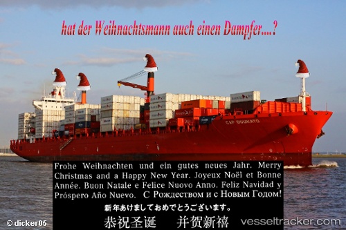
 MSC YANG R
Current Status
Where is the vessel?
MSC YANG R is currently in Near Lillo, based on AIS data received less than 1h ago.
Latest AIS update:
Current position: 51.28144° N, 4.25319° E (Near Lillo)
Average speed (last 7 days): Loading…
Average speed (last 30 days): Loading…
Vessel profile: MSC YANG R is a Container Ship with dimensions 257m x 32m.
This page combines live AIS, route history, probable destination signals, nearby traffic, and port activity for practical vessel monitoring.
The current position of vessel MSC YANG R is 51.28144 lat / 4.25319 lng. Updated: 2026-05-15 07:37:03 UTCNearest reference points:
- Near Doel
- Near Verrebroek
- Near Kallo
Currently sailing under the flag of Liberia ![]()
MSC YANG R built in 2002 year
Deadweight:
51059 tDetails:
Live Vessel MSC YANG R Analytics (details, animations, etc.)
Recent AIS points (UTC):
2026-05-15 04:41:44 UTC · 51.41310, 4.03290 · SOG 11.2 kn · COG 170°2026-05-15 06:19:33 UTC · 51.31110, 4.27231 · SOG 4.5 kn · COG 176°
2026-05-15 07:10:04 UTC · 51.28174, 4.25332 · SOG 0.4 kn · COG 35°
2026-05-15 07:37:03 UTC · 51.28144, 4.25319 · SOG 0 kn · COG 33°