 vesseltracker.com
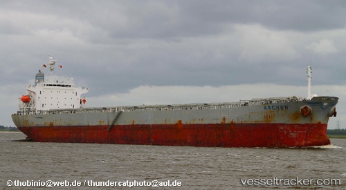
Doric Arrow
Current StatusWhere is the vessel?
Doric Arrow is currently in Near Tanjung Gelang, based on AIS data received less than 1h ago.
Latest AIS update:
Current position: 3.99300° N, 103.42469° E (Near Tanjung Gelang)
Average speed (last 7 days): Loading…
Average speed (last 30 days): Loading…
Vessel profile: Doric Arrow is a Bulk Carrier with dimensions 32m x 224m.
This page combines live AIS, route history, probable destination signals, nearby traffic, and port activity for practical vessel monitoring.
The current position of vessel Doric Arrow is 3.99300 lat / 103.42469 lng. Updated: 2026-05-14 07:55:18 UTCNearest reference points:
- Near Cukai
- Near KEMAMAN
- 29 nm SW of Dulang Marine Terminal
Details:
Live Vessel Doric Arrow Analytics (details, animations, etc.)
Recent AIS points (UTC):
2026-05-14 04:52:18 UTC · 3.99300, 103.42468 · SOG 0 kn · COG 143°2026-05-14 05:28:18 UTC · 3.99300, 103.42474 · SOG 0 kn · COG 143°
2026-05-14 07:43:18 UTC · 3.99301, 103.42469 · SOG 0 kn · COG 143°
2026-05-14 07:55:18 UTC · 3.99300, 103.42469 · SOG 0 kn · COG 143°