 vesseltracker.com
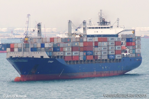
 ALOR 2
Current Status
Where is the vessel?
ALOR 2 is currently in Near MISURATA, based on AIS data received less than 1h ago.
Latest AIS update:
Current position: 32.38170° N, 15.32301° E (Near MISURATA)
Average speed (last 7 days): Loading…
Average speed (last 30 days): Loading…
Vessel profile: ALOR 2 is a Container Ship with dimensions m x m.
This page combines live AIS, route history, probable destination signals, nearby traffic, and port activity for practical vessel monitoring.
The current position of vessel ALOR 2 is 32.38170 lat / 15.32301 lng. Updated: 2026-05-15 07:39:11 UTCNearest reference points:
- Near MISURATA
- 22 nm NW of Tarabulus
Currently sailing under the flag of Iran ![]()
Details:
Live Vessel ALOR 2 Analytics (details, animations, etc.)
Recent AIS points (UTC):
2026-05-15 04:39:11 UTC · 32.38106, 15.32344 · SOG 0 kn · COG 189°2026-05-15 06:18:16 UTC · 32.38150, 15.32276 · SOG 0 kn · COG 173°
2026-05-15 07:09:13 UTC · 32.38174, 15.32315 · SOG 0.1 kn · COG 179°
2026-05-15 07:39:11 UTC · 32.38170, 15.32301 · SOG 0.1 kn · COG 178°