 vesseltracker.com
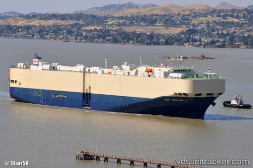
New Century 1
Current StatusWhere is the vessel?
New Century 1 is currently in 35 nm E of Hososima Ko, based on AIS data received less than 1h ago.
Latest AIS update:
Current position: 32.34822° N, 132.37883° E (35 nm E of Hososima Ko)
Average speed (last 7 days): Loading…
Average speed (last 30 days): Loading…
Vessel profile: New Century 1 is a Vehicles Carrier with dimensions 32m x 199m.
This page combines live AIS, route history, probable destination signals, nearby traffic, and port activity for practical vessel monitoring.
The current position of vessel New Century 1 is 32.34822 lat / 132.37883 lng. Updated: 2026-05-13 17:41:20 UTCNearest reference points:
- 19 nm SW of Sukumowan
- 11 nm E of SAEKI
- Near Hyuga
Details:
Live Vessel New Century 1 Analytics (details, animations, etc.)
Recent AIS points (UTC):
2026-05-13 14:04:50 UTC · 32.29792, 132.36409 · SOG 1.1 kn · COG 188°2026-05-13 16:21:30 UTC · 32.33567, 132.36891 · SOG 1.1 kn · COG 202°
2026-05-13 16:54:50 UTC · 32.34271, 132.37465 · SOG 0.8 kn · COG 216°
2026-05-13 17:41:20 UTC · 32.34822, 132.37883 · SOG 0.3 kn · COG 254°