 vesseltracker.com
 A HOUOU
Current Status
Where is the vessel?
A HOUOU is currently in Near Majistan/Zhoushan, based on AIS data received about 1d ago.
Latest AIS update:
Current position: 29.98675° N, 122.14140° E (Near Majistan/Zhoushan)
Average speed (last 7 days): Loading…
Average speed (last 30 days): Loading…
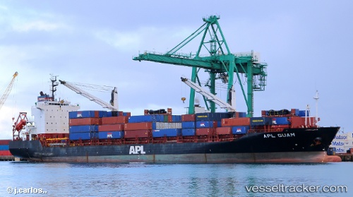
Vessel profile: A HOUOU is a Container Ship with dimensions 153m x 25m.
This page combines live AIS, route history, probable destination signals, nearby traffic, and port activity for practical vessel monitoring.
The current position of vessel A HOUOU is 29.98675 lat / 122.14140 lng. Updated: 2026-04-30 06:46:15 UTCNearest reference points:
- Near Majistan/Zhoushan
- Near ZHOUSHAN
- Near Daxie Pt
Currently sailing under the flag of Panama ![]()
A HOUOU built in 2001 year
Deadweight:
16400 tDetails:
Live Vessel A HOUOU Analytics (details, animations, etc.)
Recent AIS points (UTC):
2026-04-30 06:46:15 UTC · 29.98675, 122.14140 · SOG 0 kn · COG -1°2026-04-30 06:46:15 UTC · 29.98675, 122.14140 · SOG 0 kn · COG -1°
2026-04-30 06:46:15 UTC · 29.98675, 122.14140 · SOG 0 kn · COG -1°
2026-04-30 06:46:15 UTC · 29.98675, 122.14140 · SOG 0 kn · COG -1°