 vesseltracker.com
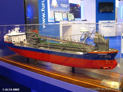
 Nordnes
Current Status
Where is the vessel?
Nordnes is currently in 21 nm SW of Glommen, based on AIS data received less than 1h ago.
Latest AIS update:
Current position: 56.72393° N, 11.82675° E (21 nm SW of Glommen)
Average speed (last 7 days): Loading…
Average speed (last 30 days): Loading…
Vessel profile: Nordnes is a Pipe Burying Vessel with dimensions 160m x 160m.
This page combines live AIS, route history, probable destination signals, nearby traffic, and port activity for practical vessel monitoring.
The current position of vessel Nordnes is 56.72393 lat / 11.82675 lng. Updated: 2026-04-30 01:55:55 UTCNearest reference points:
- 11 nm NW of Tisvilde
- Near Varberg
- Near Frillesås
Currently sailing under the flag of Netherlands ![]()
Nordnes built in 2001 year
Deadweight:
25063 tDetails:
Live Vessel Nordnes Analytics (details, animations, etc.)
Recent AIS points (UTC):
2026-04-29 22:12:33 UTC · 57.51617, 11.33654 · SOG 13.7 kn · COG 138°2026-04-30 00:08:37 UTC · 57.10603, 11.66729 · SOG 13.4 kn · COG 161°
2026-04-30 01:54:16 UTC · 56.72966, 11.83147 · SOG 13.6 kn · COG 206°
2026-04-30 01:55:55 UTC · 56.72393, 11.82675 · SOG 13.6 kn · COG 205°