 vesseltracker.com
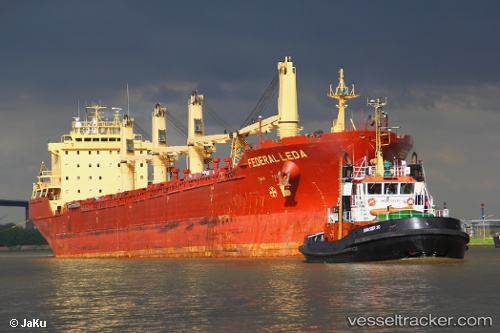
 NJ EARTH
Current Status
Where is the vessel?
NJ EARTH is currently in 37 nm SW of Rabigh, based on AIS data received about 1h ago.
Latest AIS update:
Current position: 22.39925° N, 38.40602° E (37 nm SW of Rabigh)
Average speed (last 7 days): Loading…
Average speed (last 30 days): Loading…
Vessel profile: NJ EARTH is a Bulk Carrier with dimensions m x m.
This page combines live AIS, route history, probable destination signals, nearby traffic, and port activity for practical vessel monitoring.
The current position of vessel NJ EARTH is 22.39925 lat / 38.40602 lng. Updated: 2026-04-25 20:01:44 UTCNearest reference points:
- 65 nm SW of King Abdullah City
- Near Rabigh
- Near King Abdullah
Currently sailing under the flag of Saint Kitts and Nevis ![]()
Details:
Live Vessel NJ EARTH Analytics (details, animations, etc.)
Recent AIS points (UTC):
2026-04-25 16:05:09 UTC · 22.55215, 38.48338 · SOG 2 kn · COG 34°2026-04-25 18:10:19 UTC · 22.38475, 38.38585 · SOG 1.5 kn · COG 251°
2026-04-25 19:26:17 UTC · 22.39823, 38.40485 · SOG 1.3 kn · COG 288°
2026-04-25 20:01:44 UTC · 22.39925, 38.40602 · SOG 1.3 kn · COG 292°