 vesseltracker.com
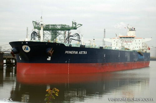
REGINA
Current StatusWhere is the vessel?
REGINA is currently in Near Bullenbaai, based on AIS data received about 49d ago.
Latest AIS update:
Current position: 12.18193° N, 69.02025° W (Near Bullenbaai)
Average speed (last 7 days): Loading…
Average speed (last 30 days): Loading…
Vessel profile: REGINA is a Crude Oil Tanker with dimensions m x m.
This page combines live AIS, route history, probable destination signals, nearby traffic, and port activity for practical vessel monitoring.
The current position of vessel REGINA is 12.18193 lat / -69.02025 lng. Updated: 2026-03-26 18:03:41 UTCNearest reference points:
- Near Bullenbaai
- Near Las Piedras
- 24 nm NW of Palm Beach
Details:
Live Vessel REGINA Analytics (details, animations, etc.)
Recent AIS points (UTC):
2026-03-26 18:03:41 UTC · 12.18193, -69.02025 · SOG 0 kn · COG 195°