 vesseltracker.com
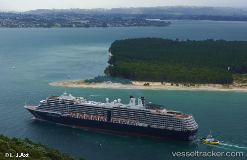
Noordam
Current StatusWhere is the vessel?
Noordam is currently in 10 nm SW of Sitka, based on AIS data received less than 1h ago.
Latest AIS update:
Current position: 56.94995° N, 135.59496° W (10 nm SW of Sitka)
Average speed (last 7 days): Loading…
Average speed (last 30 days): Loading…
Vessel profile: Noordam is a Cruise Ship with dimensions 32m x 285m.
This page combines live AIS, route history, probable destination signals, nearby traffic, and port activity for practical vessel monitoring.
The current position of vessel Noordam is 56.94995 lat / -135.59496 lng. Updated: 2026-05-15 01:19:31 UTCNearest reference points:
- Near Sitka
- Near Juneau
Details:
Live Vessel Noordam Analytics (details, animations, etc.)
Recent AIS points (UTC):
2026-05-14 22:06:24 UTC · 57.11667, -135.39333 · SOG 0 kn · COG -1°2026-05-14 22:19:28 UTC · 57.11706, -135.39459 · SOG 0 kn · COG 168°
2026-05-15 00:08:44 UTC · 57.12273, -135.39801 · SOG 1.7 kn · COG 346°
2026-05-15 01:19:31 UTC · 56.94995, -135.59496 · SOG 18 kn · COG 223°