 vesseltracker.com
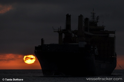
 CSTAR VOYAGER
Current Status
Where is the vessel?
CSTAR VOYAGER is currently in 93 nm W of Raigad, based on AIS data received less than 1h ago.
Latest AIS update:
Current position: 18.36591° N, 71.26101° E (93 nm W of Raigad)
Average speed (last 7 days): Loading…
Average speed (last 30 days): Loading…
Vessel profile: CSTAR VOYAGER is a General Cargo with dimensions m x m.
This page combines live AIS, route history, probable destination signals, nearby traffic, and port activity for practical vessel monitoring.
The current position of vessel CSTAR VOYAGER is 18.36591 lat / 71.26101 lng. Updated: 2026-05-14 06:03:06 UTCNearest reference points:
- Near Mumbai
- Near HNB SEZ/Mumbai
- Near NHAVA SHEVA
Currently sailing under the flag of Panama ![]()
Details:
Live Vessel CSTAR VOYAGER Analytics (details, animations, etc.)
Recent AIS points (UTC):
2026-05-14 02:01:36 UTC · 18.71634, 71.72809 · SOG 7.9 kn · COG 227°2026-05-14 03:50:48 UTC · 18.53183, 71.54896 · SOG 8.3 kn · COG 225°
2026-05-14 04:45:37 UTC · 18.46316, 71.43179 · SOG 8.5 kn · COG 241°
2026-05-14 06:03:06 UTC · 18.36591, 71.26101 · SOG 8.8 kn · COG 244°