 vesseltracker.com
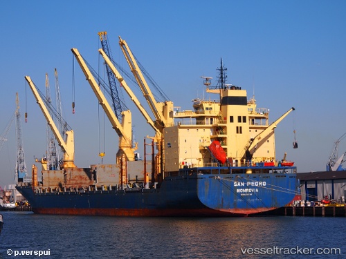
 ATLANTIC NAVIGATOR II
Current Status
Where is the vessel?
ATLANTIC NAVIGATOR II is currently in Near PUERTO CALDERA, based on AIS data received less than 1h ago.
Latest AIS update:
Current position: 9.89104° N, 84.83011° W (Near PUERTO CALDERA)
Average speed (last 7 days): Loading…
Average speed (last 30 days): Loading…
Vessel profile: ATLANTIC NAVIGATOR II is a General Cargo Ship with dimensions 193m x 28m.
This page combines live AIS, route history, probable destination signals, nearby traffic, and port activity for practical vessel monitoring.
The current position of vessel ATLANTIC NAVIGATOR II is 9.89104 lat / -84.83011 lng. Updated: 2026-04-29 18:09:35 UTCNearest reference points:
- Near Golfo de Papagayo
- 27 nm W of Playa Conchal
- 67 nm SW of Sámara
Currently sailing under the flag of Marshall Is ![]()
ATLANTIC NAVIGATOR II built in 2003 year
Deadweight:
30345 tDetails:
Live Vessel ATLANTIC NAVIGATOR II Analytics (details, animations, etc.)
Recent AIS points (UTC):
2026-04-29 14:19:27 UTC · 9.79552, -84.76448 · SOG 10.4 kn · COG 6°2026-04-29 15:37:07 UTC · 9.89012, -84.82834 · SOG 0.5 kn · COG 191°
2026-04-29 16:01:35 UTC · 9.89072, -84.83024 · SOG 0 kn · COG 146°
2026-04-29 18:09:35 UTC · 9.89104, -84.83011 · SOG 0.1 kn · COG 146°