 vesseltracker.com
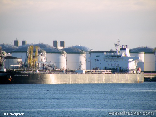
 HALO 6
Current Status
Where is the vessel?
HALO 6 is currently in 49 nm NE of PENGERANG, based on AIS data received about 1h ago.
Latest AIS update:
Current position: 1.95173° N, 104.69691° E (49 nm NE of PENGERANG)
Average speed (last 7 days): Loading…
Average speed (last 30 days): Loading…
Vessel profile: HALO 6 is a Crude Oil Tanker with dimensions m x m.
This page combines live AIS, route history, probable destination signals, nearby traffic, and port activity for practical vessel monitoring.
The current position of vessel HALO 6 is 1.95173 lat / 104.69691 lng. Updated: 2026-05-14 07:21:33 UTCNearest reference points:
- 47 nm NE of PENGERANG
- 52 nm NE of PENGERANG
- 53 nm NE of PENGERANG
Details:
Live Vessel HALO 6 Analytics (details, animations, etc.)
Recent AIS points (UTC):
2026-05-14 04:51:46 UTC · 1.95237, 104.69720 · SOG 0 kn · COG 267°2026-05-14 05:30:41 UTC · 1.95278, 104.69712 · SOG 0 kn · COG 259°
2026-05-14 07:21:33 UTC · 1.95173, 104.69691 · SOG 0 kn · COG 280°
2026-05-14 07:21:33 UTC · 1.95173, 104.69691 · SOG 0 kn · COG 280°