 vesseltracker.com
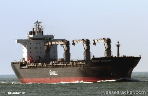
Cedar Arrow
Current StatusWhere is the vessel?
Cedar Arrow is currently in 42 nm N of Florida Straits, based on AIS data received about 1h ago.
Latest AIS update:
Current position: 25.08637° N, 83.21722° W (42 nm N of Florida Straits)
Average speed (last 7 days): Loading…
Average speed (last 30 days): Loading…
Vessel profile: Cedar Arrow is a Multi Purpose Carrier with dimensions 31m x 190m.
This page combines live AIS, route history, probable destination signals, nearby traffic, and port activity for practical vessel monitoring.
The current position of vessel Cedar Arrow is 25.08637 lat / -83.21722 lng. Updated: 2026-04-30 07:35:33 UTCNearest reference points:
- 14 nm W of Florida Straits
- 78 nm SW of Boca Grande
- 40 nm S of Florida Straits
Details:
Live Vessel Cedar Arrow Analytics (details, animations, etc.)
Recent AIS points (UTC):
2026-04-30 03:19:11 UTC · 24.42156, -83.21958 · SOG 9.8 kn · COG 354°2026-04-30 04:21:22 UTC · 24.58730, -83.20565 · SOG 9.4 kn · COG 353°
2026-04-30 07:11:54 UTC · 25.02785, -83.21772 · SOG 8.9 kn · COG 1°
2026-04-30 07:35:33 UTC · 25.08637, -83.21722 · SOG 8.8 kn · COG 359°