 vesseltracker.com
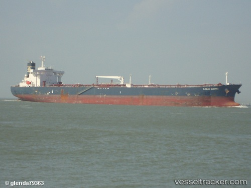
 BALANRED
Current Status
Where is the vessel?
BALANRED is currently in 16 nm NW of Changdao, based on AIS data received less than 1h ago.
Latest AIS update:
Current position: 38.07532° N, 120.47168° E (16 nm NW of Changdao)
Average speed (last 7 days): Loading…
Average speed (last 30 days): Loading…
Vessel profile: BALANRED is a Crude Oil Tanker with dimensions m x m.
This page combines live AIS, route history, probable destination signals, nearby traffic, and port activity for practical vessel monitoring.
The current position of vessel BALANRED is 38.07532 lat / 120.47168 lng. Updated: 2026-05-14 16:57:48 UTCNearest reference points:
- 32 nm NW of Changdao
- Near Longkou Pt
- 18 nm N of Changdao
Currently sailing under the flag of Mozambique ![]()
Details:
Live Vessel BALANRED Analytics (details, animations, etc.)
Recent AIS points (UTC):
2026-05-14 13:13:48 UTC · 37.93890, 121.23185 · SOG 10.2 kn · COG 283°2026-05-14 14:03:58 UTC · 37.97317, 121.05508 · SOG 10.3 kn · COG 279°
2026-05-14 15:48:47 UTC · 38.03550, 120.68683 · SOG 9.9 kn · COG 281°
2026-05-14 16:57:48 UTC · 38.07532, 120.47168 · SOG 8.5 kn · COG 280°