 vesseltracker.com
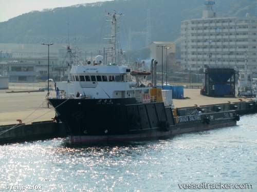
Shinryu Maru
Current StatusWhere is the vessel?
Shinryu Maru is currently in Near Urazoe, Okinawa, based on AIS data received about 2h ago.
Latest AIS update:
Current position: 26.25574° N, 127.68269° E (Near Urazoe, Okinawa)
Average speed (last 7 days): Loading…
Average speed (last 30 days): Loading…
Vessel profile: Shinryu Maru is a Offshore Tug Supply Ship with dimensions 12m x 61m.
This page combines live AIS, route history, probable destination signals, nearby traffic, and port activity for practical vessel monitoring.
The current position of vessel Shinryu Maru is 26.25574 lat / 127.68269 lng. Updated: 2026-04-28 17:44:40 UTCNearest reference points:
- 18 nm W of Koniya
- 77 nm SE of Miyakojima
Details:
Live Vessel Shinryu Maru Analytics (details, animations, etc.)
Recent AIS points (UTC):
2026-04-28 14:02:40 UTC · 26.25579, 127.68268 · SOG 0 kn · COG 270°2026-04-28 15:44:41 UTC · 26.25575, 127.68265 · SOG 0 kn · COG 270°
2026-04-28 16:11:41 UTC · 26.25574, 127.68265 · SOG 0 kn · COG 270°
2026-04-28 17:44:40 UTC · 26.25574, 127.68269 · SOG 0 kn · COG 270°