 vesseltracker.com
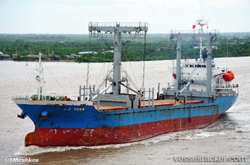
 NAFKRATIS
Current Status
Where is the vessel?
NAFKRATIS is currently in 55 nm NW of Saida, based on AIS data received about 1h ago.
Latest AIS update:
Current position: 33.96295° N, 34.36187° E (55 nm NW of Saida)
Average speed (last 7 days): Loading…
Average speed (last 30 days): Loading…
Vessel profile: NAFKRATIS is a General Cargo with dimensions m x m.
This page combines live AIS, route history, probable destination signals, nearby traffic, and port activity for practical vessel monitoring.
The current position of vessel NAFKRATIS is 33.96295 lat / 34.36187 lng. Updated: 2026-05-14 10:07:44 UTCNearest reference points:
- 31 nm SE of Vasilikos
- 17 nm S of Vasilikos
- 22 nm W of Haifa Granaries
Currently sailing under the flag of Barbados ![]()
Details:
Live Vessel NAFKRATIS Analytics (details, animations, etc.)
Recent AIS points (UTC):
2026-05-14 07:09:38 UTC · 33.65638, 33.77496 · SOG 11.2 kn · COG 56°2026-05-14 07:26:05 UTC · 33.68521, 33.82834 · SOG 11.5 kn · COG 57°
2026-05-14 09:35:55 UTC · 33.90760, 34.25752 · SOG 11.8 kn · COG 55°
2026-05-14 10:07:44 UTC · 33.96295, 34.36187 · SOG 11.1 kn · COG 52°