 vesseltracker.com
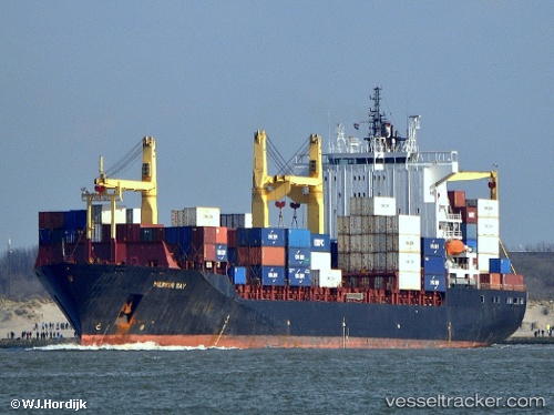
 SM MAHI
Current Status
Where is the vessel?
SM MAHI is currently in 17 nm E of SHINAS, based on AIS data received less than 1h ago.
Latest AIS update:
Current position: 24.81666° N, 56.78428° E (17 nm E of SHINAS)
Average speed (last 7 days): Loading…
Average speed (last 30 days): Loading…
Vessel profile: SM MAHI is a Container Ship with dimensions 208m x 32m.
This page combines live AIS, route history, probable destination signals, nearby traffic, and port activity for practical vessel monitoring.
The current position of vessel SM MAHI is 24.81666 lat / 56.78428 lng. Updated: 2026-04-26 10:58:14 UTCNearest reference points:
- 18 nm SE of SHINAS
- 17 nm SE of Shinas
- Near Offshore Fujairah
Currently sailing under the flag of India ![]()
SM MAHI built in 2002 year
Deadweight:
35766 tDetails:
Live Vessel SM MAHI Analytics (details, animations, etc.)
Recent AIS points (UTC):
2026-04-26 07:25:59 UTC · 24.81132, 56.77241 · SOG 0.2 kn · COG 294°2026-04-26 08:17:49 UTC · 24.81160, 56.77803 · SOG 0.1 kn · COG 322°
2026-04-26 10:13:14 UTC · 24.81623, 56.78272 · SOG 0.1 kn · COG 304°
2026-04-26 10:58:14 UTC · 24.81666, 56.78428 · SOG 0.1 kn · COG 308°