 vesseltracker.com
 MSC KANU F
Current Status
Where is the vessel?
MSC KANU F is currently in 18 nm S of Kinfraa-SEZ/Thiruvananthapuram, based on AIS data received about 2h ago.
Latest AIS update:
Current position: 8.18412° N, 76.97801° E (18 nm S of Kinfraa-SEZ/Thiruvananthapuram)
Average speed (last 7 days): Loading…
Average speed (last 30 days): Loading…
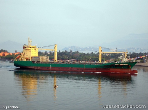
Vessel profile: MSC KANU F is a Container Ship with dimensions 24m x 159m.
This page combines live AIS, route history, probable destination signals, nearby traffic, and port activity for practical vessel monitoring.
The current position of vessel MSC KANU F is 8.18412 lat / 76.97801 lng. Updated: 2026-05-02 11:33:50 UTCNearest reference points:
- 41 nm S of Nagercoil
- 91 nm S of Nagercoil
- 98 nm S of Nagercoil
Currently sailing under the flag of Liberia ![]()
MSC KANU F built in 2001 year
Deadweight:
18402 tDetails:
Live Vessel MSC KANU F Analytics (details, animations, etc.)
Recent AIS points (UTC):
2026-05-02 07:33:09 UTC · 7.84924, 77.44031 · SOG 9.6 kn · COG 287°2026-05-02 09:48:39 UTC · 7.99381, 77.10256 · SOG 9.7 kn · COG 302°
2026-05-02 10:45:11 UTC · 8.08997, 76.98577 · SOG 10.1 kn · COG 344°
2026-05-02 11:33:50 UTC · 8.18412, 76.97801 · SOG 1.5 kn · COG 353°