 vesseltracker.com
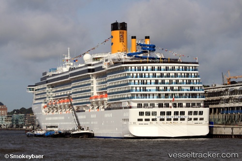
 COSTA MEDITERRANEA
Current Status
Where is the vessel?
COSTA MEDITERRANEA is currently in Near Daxie Pt, based on AIS data received less than 1h ago.
Latest AIS update:
Current position: 29.77875° N, 122.07520° E (Near Daxie Pt)
Average speed (last 7 days): Loading…
Average speed (last 30 days): Loading…
Vessel profile: COSTA MEDITERRANEA is a Passenger (Cruise) Ship with dimensions 293m x 32m.
This page combines live AIS, route history, probable destination signals, nearby traffic, and port activity for practical vessel monitoring.
The current position of vessel COSTA MEDITERRANEA is 29.77875 lat / 122.07520 lng. Updated: 2026-05-13 10:07:03 UTCNearest reference points:
- Near Daxie Pt
- 10 nm SE of Daxie Pt
- Near ZHOUSHAN
Currently sailing under the flag of Bahamas ![]()
COSTA MEDITERRANEA built in 2003 year
Deadweight:
7500 tDetails:
Live Vessel COSTA MEDITERRANEA Analytics (details, animations, etc.)
Recent AIS points (UTC):
2026-05-13 06:06:58 UTC · 29.77875, 122.07520 · SOG 0 kn · COG -1°2026-05-13 07:18:58 UTC · 29.77873, 122.07520 · SOG 0 kn · COG -1°
2026-05-13 09:34:00 UTC · 29.77873, 122.07520 · SOG 0 kn · COG -1°
2026-05-13 10:07:03 UTC · 29.77875, 122.07520 · SOG 0 kn · COG -1°