 vesseltracker.com
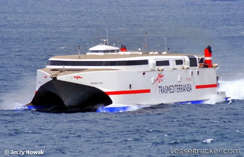
 Ciudad De Ceuta
Current Status
Where is the vessel?
Ciudad De Ceuta is currently in Near Las Palmas, based on AIS data received about 111d ago.
Latest AIS update:
Current position: 28.14617° N, 15.42134° W (Near Las Palmas)
Average speed (last 7 days): Loading…
Average speed (last 30 days): Loading…
Vessel profile: Ciudad De Ceuta is a Passenger Ro Ro Cargo Ship with dimensions 97m x 26m.
This page combines live AIS, route history, probable destination signals, nearby traffic, and port activity for practical vessel monitoring.
The current position of vessel Ciudad De Ceuta is 28.14617 lat / -15.42134 lng. Updated: 2026-01-05 05:45:45 UTCNearest reference points:
- Near Las Palmas
- Near Las Palmas de Gran Canaria
- Near TALIARTE
Currently sailing under the flag of Spain ![]()
Ciudad De Ceuta built in 2003 year
Deadweight:
758 tDetails:
Live Vessel Ciudad De Ceuta Analytics (details, animations, etc.)
Recent AIS points (UTC):
2026-01-05 05:45:45 UTC · 28.14617, -15.42134 · SOG 0 kn · COG 182°