 vesseltracker.com
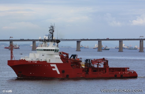
 OCEANICASUB VII
Current Status
Where is the vessel?
OCEANICASUB VII is currently in 43 nm S of Capixaba FPSO, based on AIS data received about 1h ago.
Latest AIS update:
Current position: 21.94026° S, 39.78004° W (43 nm S of Capixaba FPSO)
Average speed (last 7 days): Loading…
Average speed (last 30 days): Loading…
Vessel profile: OCEANICASUB VII is a Anchor Handling Vessel with dimensions m x m.
This page combines live AIS, route history, probable destination signals, nearby traffic, and port activity for practical vessel monitoring.
The current position of vessel OCEANICASUB VII is -21.94026 lat / -39.78004 lng. Updated: 2026-04-28 07:12:57 UTCNearest reference points:
- Near Capixaba FPSO
- 68 nm SE of Espírito Santo FPSO
- Near Fluminense FPSO
Details:
Live Vessel OCEANICASUB VII Analytics (details, animations, etc.)
Recent AIS points (UTC):
2026-04-28 04:58:13 UTC · -21.94026, -39.78008 · SOG 1.1 kn · COG 7°2026-04-28 06:00:06 UTC · -21.94023, -39.78011 · SOG 1.2 kn · COG 4°
2026-04-28 07:12:10 UTC · -21.94027, -39.78005 · SOG 0.2 kn · COG 0°
2026-04-28 07:12:57 UTC · -21.94026, -39.78004 · SOG 0.1 kn · COG 1°